- Learn & Discover
- Satellite data boosts global understanding of land surface
- Soil moisture measurements hel...
Soil moisture measurements help flood forecasting
02 Feb 2022

Title: Soil moisture measurements help flood forecasting
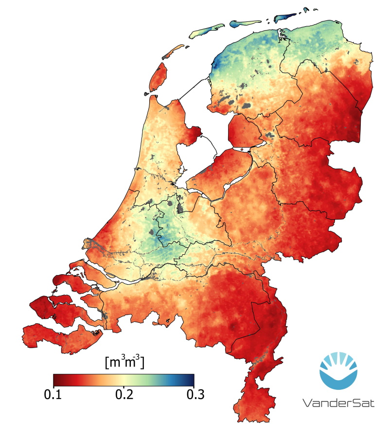
Description: This soil moisture map of the Netherlands is derived from datasets provided by ESA’s Soil Moisture and Ocean Salinity mission. Measurements of soil moisture can be leveraged by value-adding companies for flood forecasting or to warn farmers of drought or water stress, thus helping to improve their crop yield predictions.
Copyright: VanderSat