About WorldView Series
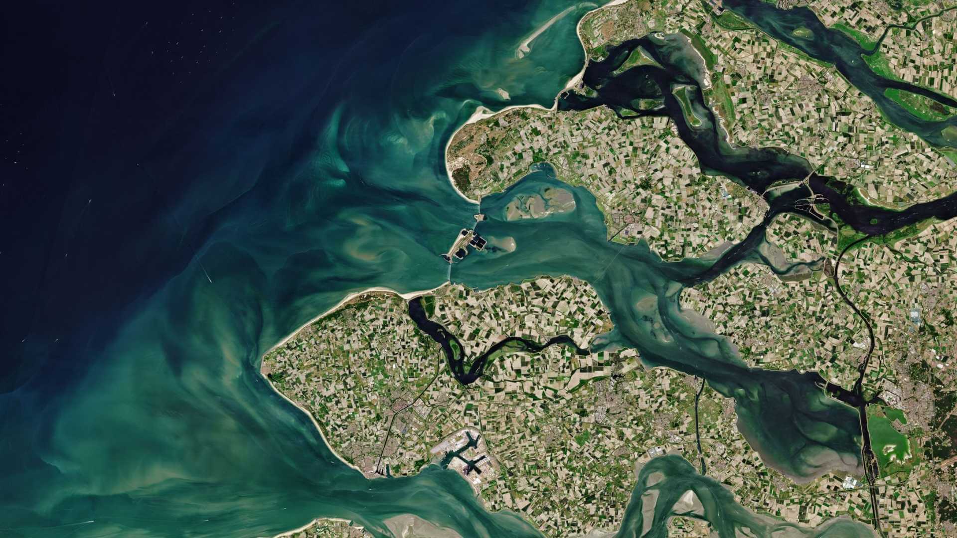
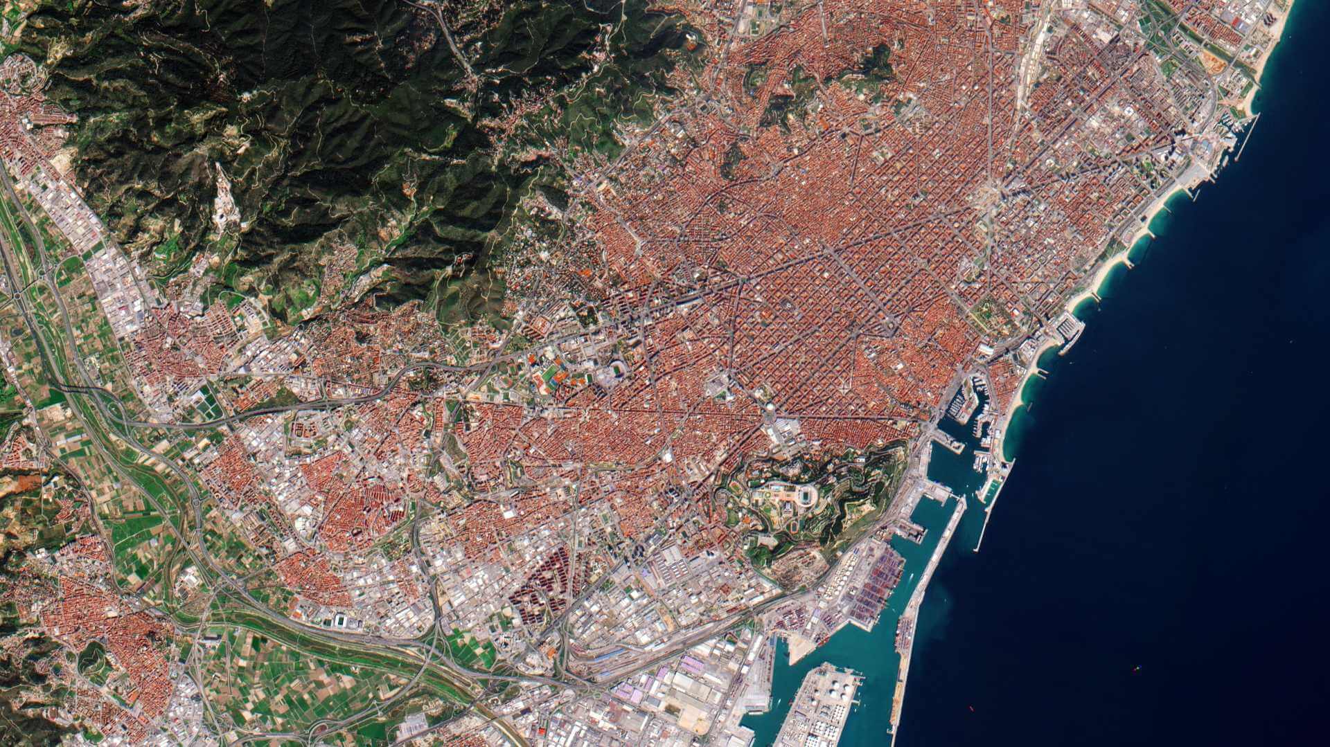
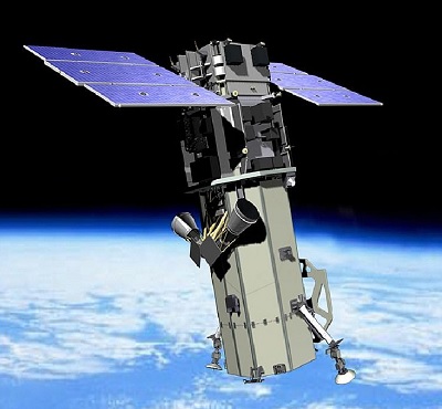
The WorldView Series consists of high resolution commercial Earth imaging satellites. Owned by Maxar, the first three satellites in the series are currently operational, and they have been supplying imagery since 2007.
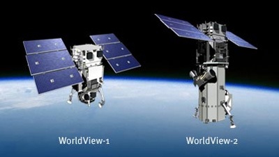
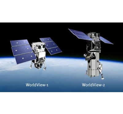
- WorldView-1 launched in 2007, it was the world's first 50 cm resolution commercial imaging satellite
- WorldView-2 launched in 2009, as a follow-on spacecraft to WorldView-1. It was the first high resolution 8-band multispectral commercial satellite.
- WorldView-3 launched in 2014, it is very similar to WorldView-2 but positioned in a lower orbit
- WorldView-4 launched in 2016, and provided 31 cm panchromatic imagery and 1.23 m multispectral imagery
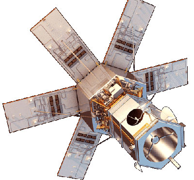
In addition, Maxar's GeoEye-1 satellite, launched in 2008, is part of the wider WorldView constellation.
The WorldView Series is part of ESA's Third Party Missions Programme in which ESA has an agreement with European Space Imaging (EUSI) to distribute data products from the missions.
WorldView Series Objectives
The overall objective of the WorldView satellites is to meet the growing commercial demand for high-resolution satellite imagery.
WorldView Series Missions
find out more
find out more
find out more
find out more