- News
- Remote sensing data underpin r...
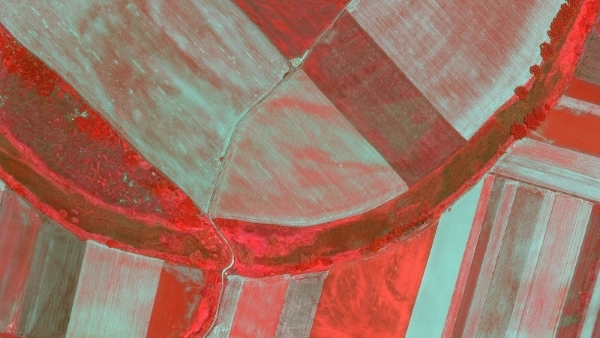
Remote sensing data underpin research on soil
23 Mar 2023
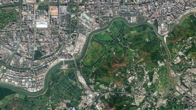
Environmental data disseminated by ESA’s Earth observation programmes provide knowledge about the stresses on Earth’s soils – aiding many applications such as crop management, drought and flood forecasting, and ecosystem protection.
Soils provide a key foundation for life and represent the largest land-based carbon source. Soil degradation, in the form of erosion, contamination or loss of organic material, is impacting land stability, ecosystems functioning and the carbon and water cycles.
Population growth and the impact of climate change put further pressure on soils, meaning that careful monitoring of this precious commodity is more important than ever.
Remote sensing data from various ESA missions are being used by researchers in multiple sectors, to unlock critical up-to-date analysis on soils.
What is remote sensing of soil?
Traditional soil mapping relies on in-site field surveys, which are costly and time consuming. Remote sensing methods use space-borne microwave and optical sensors to efficiently map different soil physiochemical properties - such as soil organic carbon, salinity and nitrogen - with high resolution.
Soil moisture datasets help agricultural planning
ESA’s Heritage Envisat mission housed the Advanced Synthetic Aperture Radar (ASAR) instrument operating at C-band (5.3 GHz), which allowed the measurement of soil moisture values.
Radar data are highly sensitive to soil’s dielectric constant, which increases with soil water content.
Envisat climate data provided information on soil moisture to help predict droughts and support irrigation scheduling, as well as anticipating harvests and potential crop damage.
Long-term data from ESA’s Heritage remote sensing missions are made accessible on a free basis and continuously improved through ESA’s Heritage Space programme.
Researchers and scientists can browse Envisat products and other Heritage collections online, as well as read guides on how to access data.
Envisat’s soil moisture measurement methods were further refined by later ESA Earth observation missions.
Soil Moisture and Ocean Salinity (SMOS) mission – one of ESA’s Earth Explorer missions - makes global observations of soil moisture over land by observing microwave radiation emissions from its Microwave Imaging Radiometer with Aperture Synthesis (MIRAS) instrument.
SMOS soil moisture products are available in near real-time, and are used operationally for drought monitoring and to assess the impact of droughts on crop yields.
Additionally, the data have been used to correct high resolution satellite based precipitation estimates.
Scientists recently showed how these products can both improve the estimations of a high-resolution rainfall product in Africa and accelerate the production of these data.
How can satellites help farming?
Crops need just the right amount of water to thrive, so farmers look to Earth observation data to track soil moisture and watch out for droughts and floods. Remote sensing data also help sustainable farming choices by monitoring yield and crop growth stages and keep tabs on different levels of soil quality and mineral richness, to better estimate fertilizer requirements.
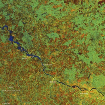
Datasets reveal information on seasonal soil freezing
Datasets from SMOS have also been expanded with freeze/thaw soil state products, which provide daily information on the state of soil in the Northern Hemisphere.
The effect of seasonal freezing of soils can have varying impacts on Earth’s system, influencing the energy exchange between the soil surface and atmosphere.
Frozen soil affects the carbon and water cycles by altering water flows and hindering evaporation. This data product gives the soil state as “frozen”, “partially frozen” or “thawed”.
Ensuring the quality of Earth observation soil moisture data is the aim of the Quality Assurance for Soil Moisture (QA4SM) service, which makes use of in situ and modelling data to validate satellite soil moisture maps. The service adopts Fiducial Reference Measurement (FRM) principles to better characterise satellite soil moisture data.
The first evolution of this service was presented at the sixth Soil Moisture Validation Workshop, in 2022, and the next evolution is planned for the first half of early 2023.
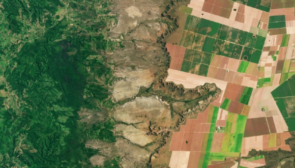
High resolution data support sustainable farming
As soils differ over various scales, field level applications require different resolutions. For agricultural production to increase, reducing soil erosion from over-cropping is essential.
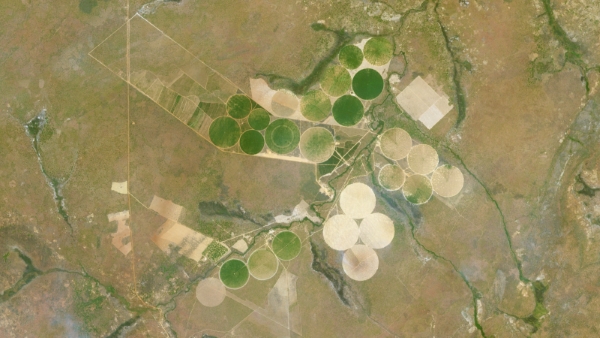
A UK-based research group used high-frequency, high-resolution PlanetScope data to gather detailed field information, such as size, biomass and harvest index, of agricultural land in the drylands of sub-Saharan Africa.
The results from the research were used for accurate predictions of crop yields, to aid sustainable farming practices and food security in the region.
ESA enables free access to Third Party Mission (TPM) data, like those of EUSI and Planet, for research and application development purposes.
RapidEye data – also available via the TPM programme – have been used to develop field-scale soil organic matter maps to aid precision agriculture.
Soil health is the capacity of soil to function as a vital ecosystem. Soil health attributes measured in field have also been correlated to remote sensing spectral indices (SVIs), showing how Earth observation data can provide a way of monitoring ecosystems.
WorldView-3 spectral vegetation indices (SVIs) generated for individual tree crown objects promise a cost-effective approach for measuring urban tree health.
How useful is satellite imagery to ecologists?
Remote sensing imagery provide land cover and land use information as well as quantifying biophysical variables on temporal and spatial scales. This information can substantially improve understanding of ecosystem resilience.
Tracking Earth’s soils using ESA Earth observation data aids multiple application areas. Learn how to access ESA’s data.