Featured
About SPOT 1
SPOT 1 (Satellite pour l'Observation de la Terre) was a commercial Earth-imaging satellite from CNES (Centre National D’Etudes Spatiales), the French Space Agency. It was launched on 22 February 1986 and ceased operations in November 2003. SPOT 1, 2 and 3 were identical.
| Orbit Height | 832 km |
| Orbit Type | Sun-synchronous |
| Orbit Inclination | 98.7° |
| Orbit Duration | 101 min |
| Repeat Cycle | 26 days |
SPOT 1 Objectives
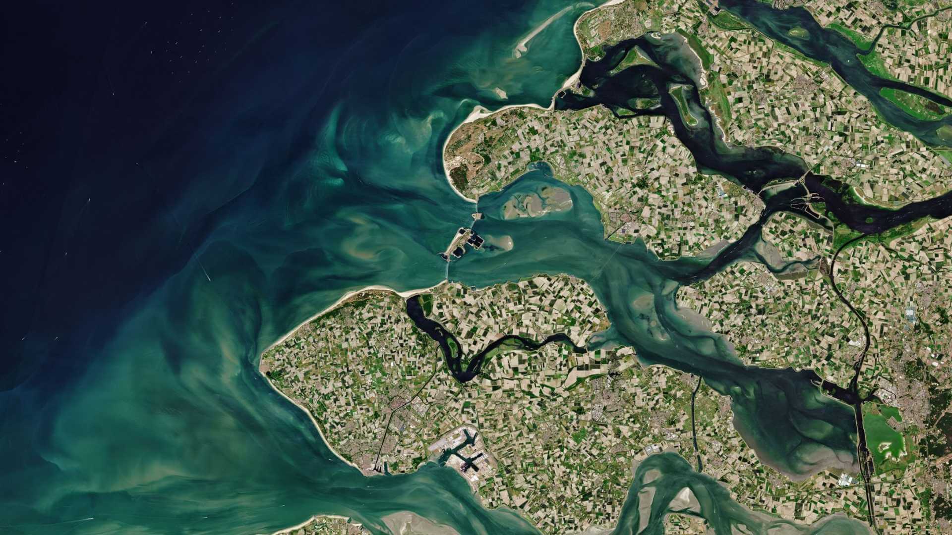
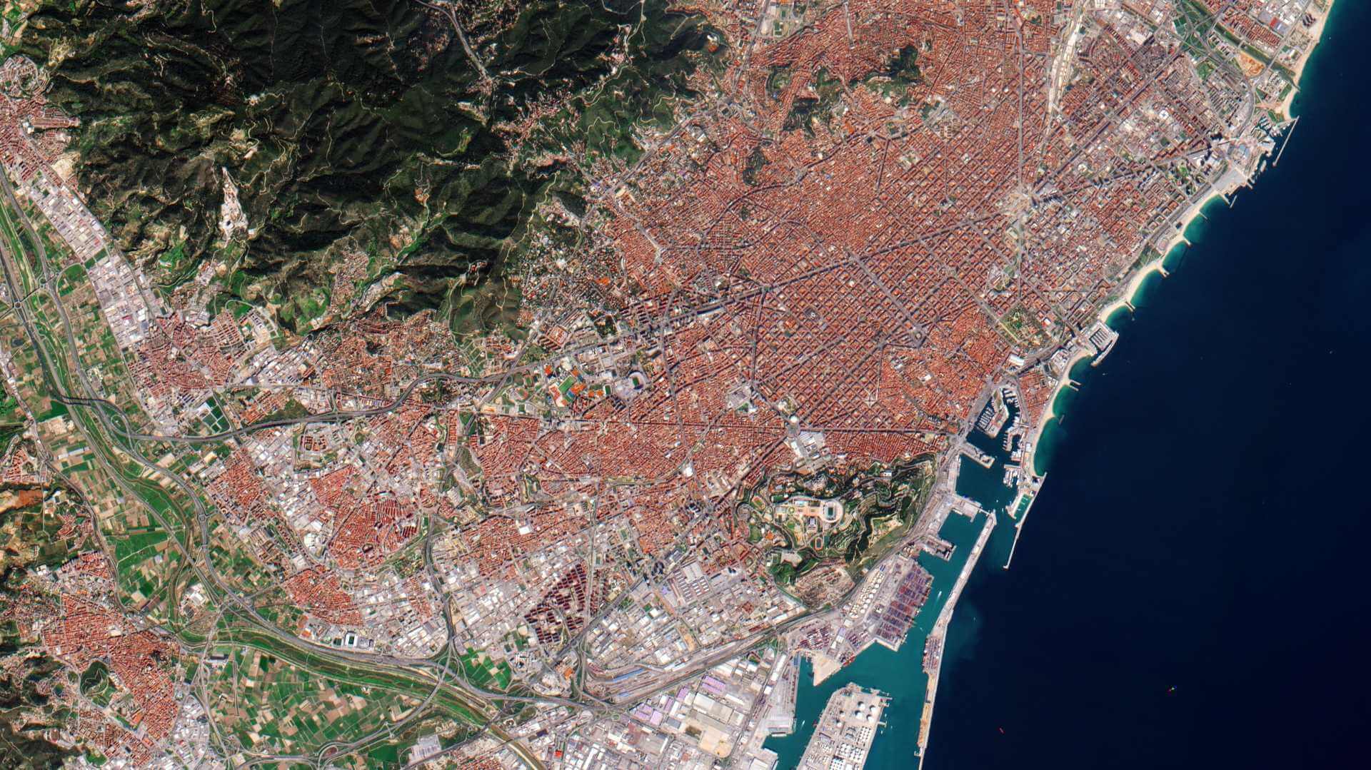
SPOT 1, supplying high-resolution, wide-area optical imagery, was designed to improve the knowledge and management of Earth's resources, detecting and forecasting phenomena involving climatology and oceanography, and monitoring human activities and natural phenomena.
SPOT 1 Instruments
High-Resolution Visible (HRV)
Two identical HRV (High Resolution Visible) imaging instruments on SPOT 1 provided data at 10 metre spatial resolution and were able to operate in two modes: Panchromatic and 20 metre (Multispectral mode) with a swath of 60 km simultaneously or individually.
The HRV had an oblique viewing capability of 27° on each side of the local vertical. The swath was 117 km2 if both sensors were used simultaneously with a 3 km2 overlap.
| Type | High-resolution optical pushbroom imager | |
| Ground Sample Distance | Panchromatic: 10 m Multispectral: 20 m | |
| Swath Width | 60 km | |
| Bands | Pan Green Red NIR (Near Infrared) | 0.51-0.73 µm 0.50-0.59 µm 0.61-0.68 µm 0.79-0.89 µm |
| Instrument Field of View | 4.13° | |
| Ground Sampling Interval (Nadir Viewing) | Panchromatic: 10 m x 10 m Multispectral: 20 m x 20 m | |
| Pixel per Line | Panchromatic: 6000 Multispectral: 3000 | |
| Swath Width | 60 km | |
SPOT 1 Data
DATA COLLECTIONS
Registered users can access the SPOT 1 to 5 ESA archive through the online dissemination server. The archive consists mainly of imagery over Europe and Africa that ESA has collected through the years.

