Featured
About MetOp

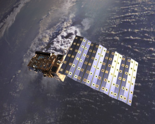
The MetOp series of three satellites is the European contribution to a co-operative venture with the United States dedicated to improving weather forecasts and monitoring Earth's climate.
MetOp-A was launched on 19 October 2006 and retired—or de-orbited —in November 2021. MetOp-B was launched 17 September 2012 and MetOp-C joined them in orbit on 7 November 2018.
MetOp Objectives
The objective of the MetOp series is to provide a closer view of the atmosphere from low Earth orbit, delivering data that will improve global weather prediction and enhance our understanding of climate change.
MetOp Instruments
MetOp satellites carry a set of state-of-the-art sounding and imaging instruments:
- IASI
- GOME-2
- ASCAT
- AMSU-A
- MHS
- AVHRR
- GRAS
- HIRS
- A-DCS
- SARSAT (Search and Rescue)
- SEM
Visit the EUMETSAT website to find out more about MetOp instruments.
MetOp Data
DATA COLLECTIONS
ESA has carried out an extensive activity to produce a unique AVHRR L1B Master Dataset over Europe with the data of the NOAA and MetOp AVHRR sensors during the period of 1 January 1981 to 31 December 2016. This dataset has been processed in whole with the same processor and the quality of each frame has been checked so that the homogeneity of products are ensured with regards to the defragmentation of data, documentation and processor software that are not anymore available from such a long time frame.
Furthermore this L1B Master Dataset was merged with data coming from different European contributors to reduce the time gaps of the data collection. For these reasons the AVHRR is one of the few instruments with such a long history that can be used to ensure sound statistical analysis for climatological studies from more than three decades.
Read more about the AVHRR collection:
DATA TOOLS
Atmospheric Toolbox
The Atmospheric Toolbox (also known as BEAT) is a collection of executable tools and an application programming interface (API) which has been developed to facilitate the utilisation, viewing and processing of ESA GOMOS, MIPAS, SCIAMACHY and GOME data.
ESOV
The Earth Observation Swath and Orbit Visualisation tool (ESOV) provides the means to visualise the instrument swaths of all ESA Earth Observation Satellites and assist in understanding where and when satellite measurements are made and ground contact is possible.


