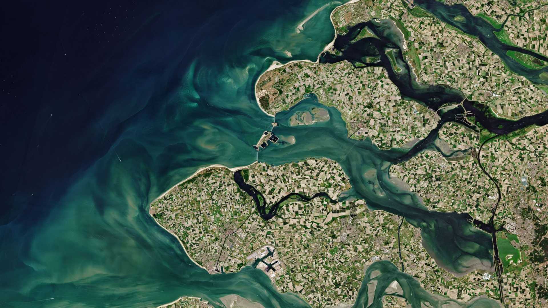
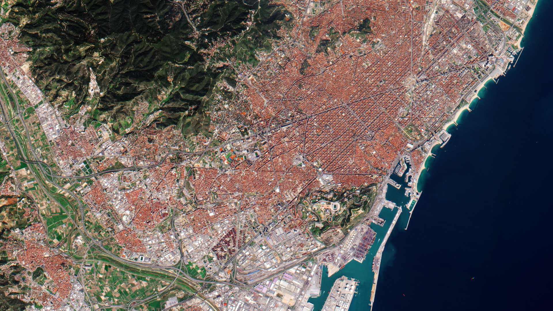
Featured
About KOMPSAT-2
KOMPSAT-2 (Korean Multi-purpose Satellite 2), also known as Arirang-2, is an Earth-imaging/environmental Korean satellite which launched on 28 July 2006 and remains operational.
| Orbit Height | 685 km |
| Orbit Type | Sun-synchronous Circular Polar |
| Repeat Cycle | 14 days |
KOMPSAT-2 Objectives
KOMPSAT-2 is designed for very-high-resolution (VHR) remote-sensing applications:
- Land planning: to detect and identify features smaller than 1 sq.m., e.g. vehicles, street furnishings, roads and bushes
- Agriculture: to pinpoint crop or tree diseases
- Urban planning and demographics: to locate detached houses
- Defence: to describe high-value assets or military sites
- Civil engineering: to plan road, railroad and oil pipeline corridors
- Surveillance of large scale disasters and their countermeasures
- Acquisition of independent high resolution images for GIS
- Composition of printed maps and digitised image maps on domestic and overseas territories to users
- Continue to support satellite Earth observation activities that were served by KOMPSAT-1.
KOMPSAT-2 Instruments
Multi-Spectral Camera (MSC)
The objective of the MSC is to collect high-resolution panchromatic and multispectral imagery of Earth's surface.
| Parameter | Value |
| Spectral Range | 500-900 nm (PAN), 450 - 520 nm (Blue), 520 - 600 nm (Green), 630 - 690 nm (Red), 760 - 900 nm (NIR) |
| GSD (Ground Sample Distance) | Pan (1 m), MS (4 m) |
| Swath Width, FOV | 15 km at nadir, ±0.62º |
| MTF (Modulation Transfer Function) | > 15% for Pan, 20% for MS |
| Detector Line Array | 15,000 pixels (Pan), 3,750 pixels (MS) |
| Spectral Bands | 1 Pan + 4 MS |
| SNR | > 100 |
| Data Quantization | 10 bit |
| Payload Power, Mass | 350 W, 150 kg. |
KOMPSAT-2 Data
DATA COLLECTIONS
Through the Online Dissemination server, ESA offers registered users access to the following data collections:

