Featured
About GOCE

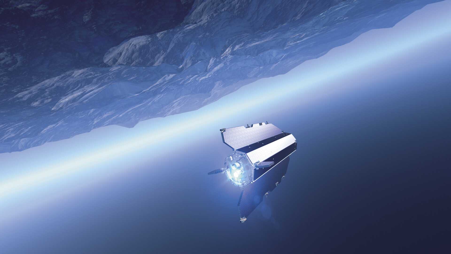
ESA's Gravity field and Ocean Circulation Explorer (GOCE) orbited as close to Earth as possible - just 260 km up - to maximise its sensitivity to variations in Earth's gravity field with unprecedented accuracy and spatial resolution. GOCE's state-of-the-art gradiometer mapped Earth's geoid very accurately, opening a window into Earth's interior structure as well as the currents circulating within the depths of its oceans.
The final gravity map and model of the geoid, provided users worldwide with well-defined data products that are instrumental in advancing science and applications in a broad range of disciplines. Although its flight is over, the wealth of data from GOCE continues to be exploited to improve our understanding of geodesy, geophysics, surveying, ocean circulation, oceanography, sea level, ice dynamics and Earth’s interior.
GOCE was launched on 17 March 2009 and came to an end on 21 October 2013 when it ran out of fuel and re-entered the atmosphere on 11 November 2013.
GOCE Objectives
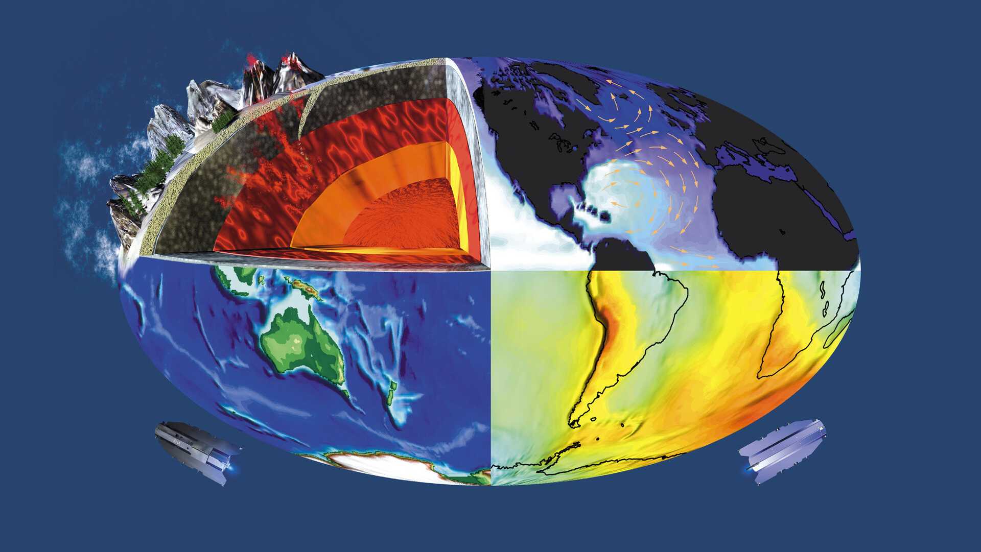
The GOCE mission objectives were based on the unique capability of a gravity gradiometer to provide an accurate and detailed global model of Earth's gravity field and geoid. This model served the following multi-disciplinary scientific objectives:
- Providing a new understanding of the physics of Earth´s interior including geodynamics associated with the lithosphere, mantle composition and rheology, uplifting and subduction processes.
- Providing a precise estimate of the marine geoid, needed for the quantitative determination, in combination with satellite altimetry, of absolute ocean currents and their transport of heat and other properties.
- Providing a better global height reference system for datum connection, which can serve as a reference surface for the study of topographic processes, such as the evolution of ice-sheets and land surface.
- Providing estimates of the thickness of the polar ice sheets through the combination of bedrock topography derived from gradiometry and ice-sheet surface topography from altimetry.
Advances in each of these areas of research benefited developments in others, including the study of global sea-level change.
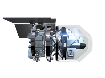
GOCE Instruments
find out more
find out more
