- All Categories (31765)
- Data (46)
- News (78)
- Missions (1)
- Events (55)
- Tools (24)
- Activities (13)
- Campaigns (2)
- Documents (31546)
TOOLS & TOOLBOXES
Find the tools you need to visualise, analyse and process the European Space Agency's Earth observation data.
Tools - Apps
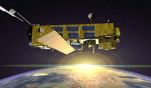
18 Dec 2023Earth Online Visuals
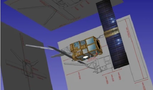
The Earth Online Visuals app displays interactive 3D models of ESA’s Earth Explorers and the Envisat and GOCE Heritage satellites. The models detail the mission payloads and where the instruments are placed on the satellites.
Tools - Catalogues
 21 Oct 2022
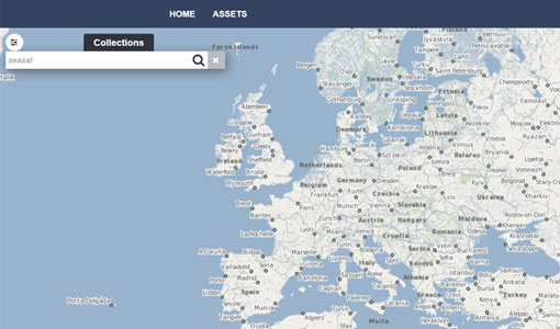
FedEO
FedEO is a data catalogue that provides a unique entry point to a number of scientific catalogues and services for, but not limited to, European and Canadian missions.
Tools - Catalogues
 21 Oct 2022
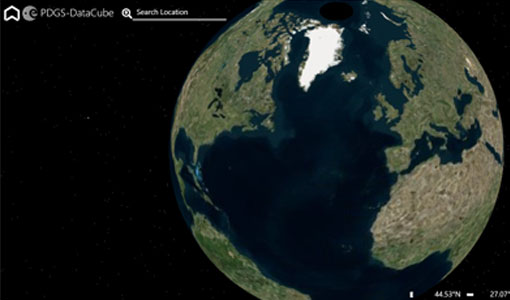
ESA PDGS DataCube
ESA's DataCube is a data catalogue that enables multi-temporal and pixel-based access to a subset of data available from ESA
Tools - Catalogues
 21 Oct 2022
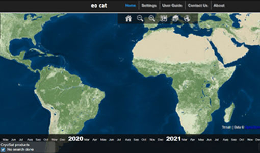
EO CAT
EO CAT is a data catalogue, offering a Next Generation Earth Observation system designed to manage end-user Earth Observation services.
Tools - Apps
 21 June 2021
Heritage Missions app for iOS
Download the Heritage Missions application to discover what the missions were about, how it worked and what the elements of the space and ground segment that make these missions unique.
Tools - Apps
 21 June 2021
Heritage Missions app for Android
Download the Heritage Missions application to discover what the missions were about, how it worked and what the elements of the space and ground segment that make these missions unique.
Tools - Other
 8 Feb 2021
Hydrology TEP
The Hydrology Thematic Exploitation Platform (TEP) enables access, processing, uploading, visualisation, manipulation and comparison of hydrological data.
Tools - Other
 8 Feb 2021
Forestry TEP
The Forestry Thematic Exploitation Platform (TEP) enables users in the forestry sector to access satellite data based processing services and tools for generating value-added forest information products.
Tools - Other
 8 Feb 2021
Polar TEP
The Polar Thematic Exploitation Platform (TEP) enables access, processing, uploading, visualisation, manipulation and comparison of data over the polar regions.
Tools - Other
 8 Feb 2021
Geohazards TEP
The Geohazards Thematic Exploitation Platform (TEP) aims to provide Earth observation data for supporting geohazards applications.
Tools - Analysis
 1 Oct 2020
ESA PDGS Jupyter Notebook
A series of Jupyter Notebooks are available, in order to understand how to exploit the API that provides the data access service for different types of datasets included in the ESA PDGS datacube.
Tools - Visualisation
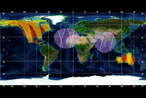
14 May 2020EVDC Orbit Prediction Tool
The EVDC Orbit Prediction and Overpass Tool generates and visualises satellite's overpasses.
Tools - Analysis
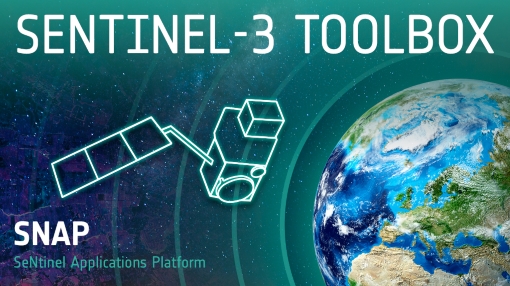 2 Mar 2020
Sentinel-3 Toolbox
The Toolbox consists of a set of visualisation, analysis and processing tools for the exploitation of OLCI and SLSTR data.
Tools - Analysis
 2 Mar 2020
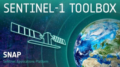
Sentinel-1 Toolbox
The Toolbox consists of: processing tools, data product readers and writers and a display and analysis application to support the archive of SAR data from ESA and 3rd party missions.
Tools - Analysis
 17 Dec 2019
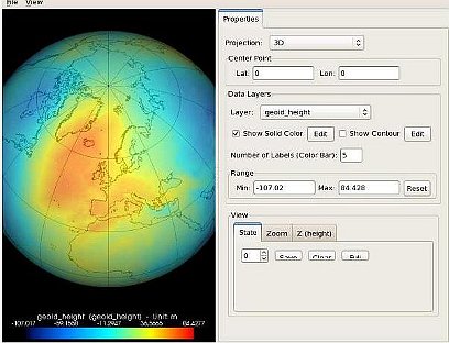
GOCE User Toolbox
The GOCE User Toolbox is a compilation of tools for the utilisation and analysis of products from ESA's GOCE gravity mission.
Tools - Analysis
 8 Nov 2019
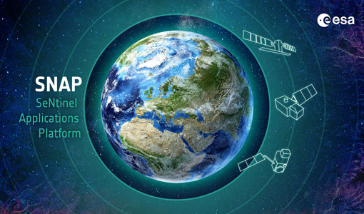
SNAP
SNAP is a common architecture for all Sentinel Toolboxes. It is ideal for Earth observation processing and analysis.
Tools - Processing
30 Sept 2019Atmospheric Toolbox
The Atmospheric Toolbox (previously known as BEAT) is a collection of executable tools and API, developed to facilitate the utilisation, viewing and processing of e.g. GOMOS, MIPAS, SCIAMACHY and GOME data.
Tools - Processing
 19 June 2019
EO CFI Software
Earth Observation CFI Software is a collection of multiplatform precompiled C libraries for timing, coordinate conversions, orbit propagation, satellite pointing calculations, and target visibility calculations.
Tools - Visualisation
 19 June 2019
ESOV Software Tools (ESOV NG)
ESOV tool provides the means to visualise instrument swaths of all ESA EO Satellites, assist in understanding where and when satellite measurements are made and ground contact is possible.
Tools - Processing
 19 June 2019
SciaL1C Command-line Tool
The SCIAMACHY Calibration and Extraction Tool (SciaL1c) is an application to process SCIAMACHY Level 1b products. It allows you to select specific calibrations to apply to Level 1b data.