- News & Events
- ICEYE data available for asses...
ICEYE data available for assessment
18 Jun 2020

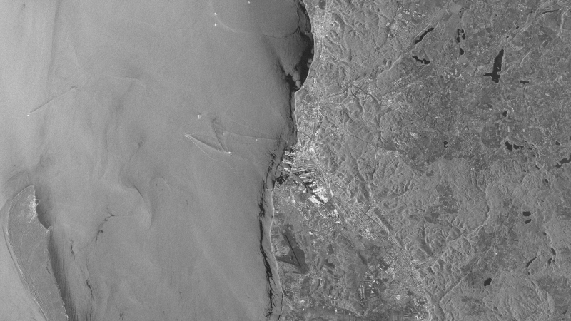
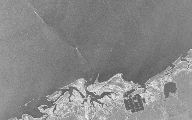
ICEYE provides cornerstone SAR data and analytics services for commercial and government applications worldwide, including disaster response, agricultural management, city planning, maritime port traffic management and forest management.
Part of ESA's Earthnet programme as a "Third Party Mission (TPM) under evaluation", the SAR user community is invited to participate to the call to assess the suitability of the constellation, for science and EO-based applications.
Designed by the Finnish ICEYE start-up company, the ICEYE X satellites are proof-of-concept prototypes for a planned constellation of 18 SAR (Synthetic Aperture Radar) equipped microsatellites, to provide near-real-time SAR imagery.
The world's first SAR satellite under 100 kg—ICEYE-X1—was successfully launched in January 2018, followed by ICEYE-X2 in December 2018. Two more ICEYE SAR satellites were simultaneously launched in July 2019, and successfully added to ICEYE's commercial SAR satellite constellation.
As of June 2020, the ICEYE constellation consists of three X-band SAR satellites, with two further satellites expected to be launched sometime in July. Over the next years, ICEYE will continue to grow its constellation capacity in specialised orbital planes, designed to provide a persistent, high resolution view of Earth’s surface with radar data.
Each ICEYE satellite is in a sun-synchronous orbit with a nominal 18-22 day ground track repeat cycle (depending on the satellite), with 15 imaging orbits per day. Each orbit plane is phased around Earth with a different local time of ascending node (LTAN) and descending node (LTDN).

This means that the constellation has the ability to observe a location at different times of day, rather than the more conventional dawn-dusk sun-synchronous orbit.
The active phased array antenna can provide electronic beam steering. This is used in addition to the satellite’s mechanical agility to point a radar beam precisely onto Earth’s surface. This agility also allows the beam to be directed towards the right or left side of the satellite track.
The flexibility of the satellites facilitate imaging modes to be constantly evolved. Currently, the satellites operate in two primary modes called ‘Spotlight Mode’ and ‘Stripmap Mode’, with each mode providing different output imaging capabilities depending on tasking and exploitation requirements.
Interested users of ICEYE are invited to investigate the suitability of the data for scientific and R&D activities, in an announcement of opportunity. (Deadline is October 2020).
For more information on the available ICEYE data, please see the data description.