About FSSCat
FSSCat was a ground-breaking mission concept that consisted of two federated 6U CubeSats, called ³Cat-5/A and ³Cat-5/B, which operated in support of the Copernicus Land and Marine Environment services. The mission concluded in 2021.
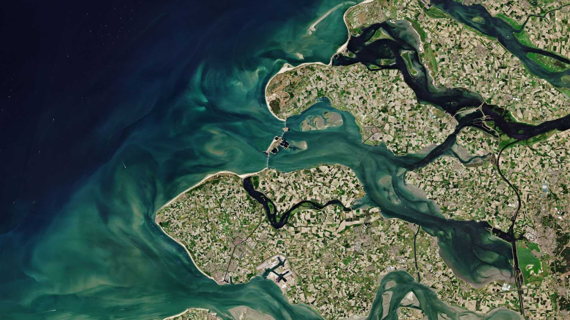
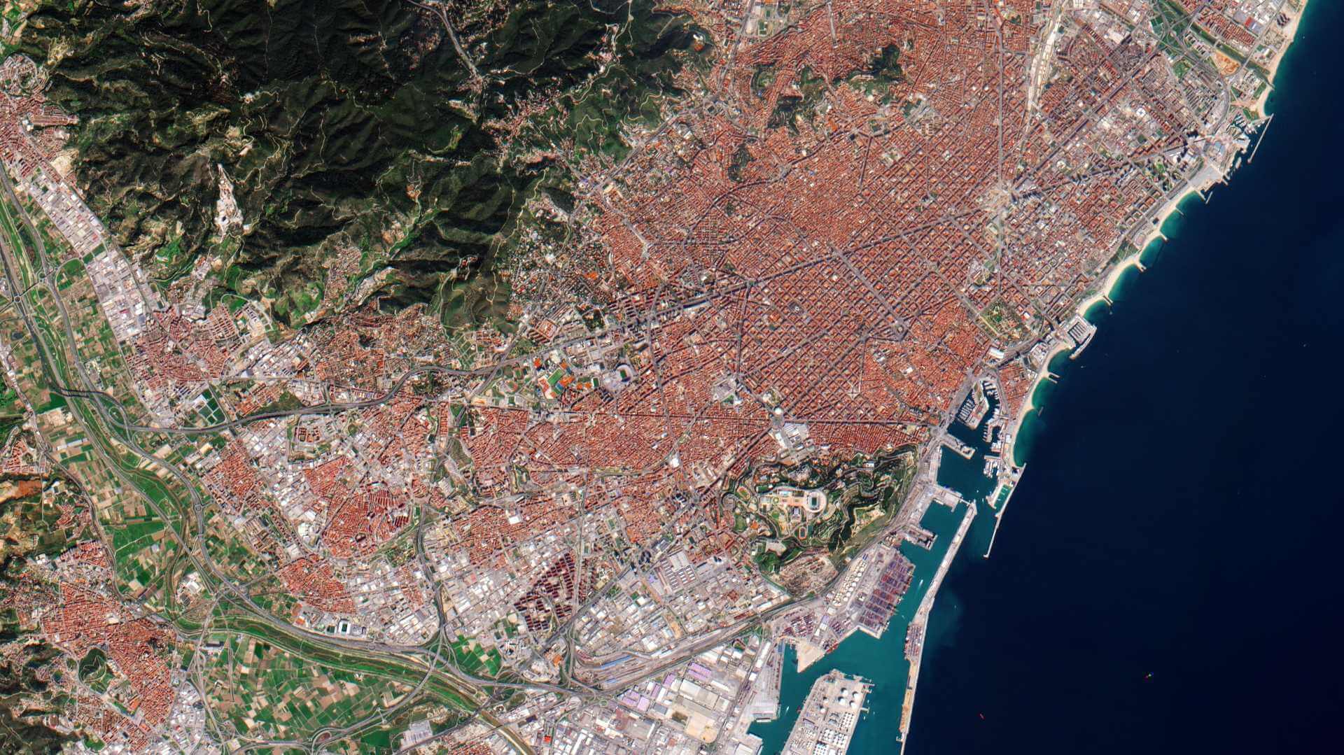
As a precursor to a constellation of federated small satellites for Earth Observation, FSSCat was equipped with a multi-spectral optical payload and a dual microwave payload, including a GNSS-Reflectometer and an L-band radiometer with interference detection/mitigation capabilities. FSSCat was capable of measuring soil moisture, ice extent, and ice thickness, and detecting melting ponds on ice. Additionally, the satellites featured radio/optical and Iridium inter-satellite links to evaluate key technologies and techniques for future satellite federations.
| Date of launch | 3 September 2020 |
| Mission Status | Completed |
| Swath (across-track) | 300 km |
| Orbit Height | 540 km |
| Orbit Type | Sun-synchronous |
| Orbit Period | 94 minutes |
| Inclination | 98° |
| Instruments | HyperScout-2 |
FSSCat Objectives
The primary objective of the FSSCat mission was to gather, in a cost-effective manner, data which supplemented the information provided by the Copernicus Sentinels, with a focus on supporting the Copernicus Land and Marine Environment services.
In achieving this goal, FSSCat aimed to deliver, via its optical and microwave payloads, data at a high temporal resolution with a moderate spatial resolution. Additionally, the mission aimed to demonstrate Inter-Satellite Links (ISL) through the use of its Laser Communication Payload.
FSSCat Instruments
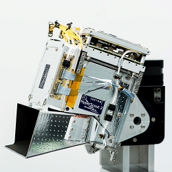
FSSCat carried HyperScout-2 onboard which was a compact hyperspectral VNIR (Visible and Near Infrared) imager and multispectral (MS) Thermal Infrared (TIR) imager with a wide swath and powerful processing abilities. An artificial intelligence (AI) chip carried by the satellite allowed AI processing algorithms to be directly applied to acquired data while onboard, enabling the production of Level-1C hyperspectral data in-orbit.
AI was also leveraged to select which data was downloaded based on the cloud coverage of the acquired scene, an ability that was of particular benefit given the large volume of data generated by Earth observation hyperspectral imaging missions.
The microwave payload (FMPL-2) combined a GNSS-Reflectometer and an L-band Radiometer which performed sea-ice detection and thickness monitoring, and soil moisture measurements, which complemented data from HyperScout-2.
| Attributes | HyperScout 2 | Justification |
| Field of view | 30° (ACT) x 15° (ALT) | Based on on-ground characterisation |
| Orbit height | 540 km | Based on satellite ADCS |
| Swath Across track | 300 km | Based on instrument field of view and orbit altitude |
| Ground sampling distance GSD (Across track) | 75 m | Based on instrument focal length and orbit altitude |
| Point Spread Function (PSF) | 2.0 px FWHM ACT 1.9 px FWHM ALT | Based on on-ground characterisation |
| Active sensor size | 4000 x 1850 px | The pixel dimension of the illuminated area of the sensor |
| Spectral Range | 450 - 950 nm | Assuming there was sufficient band width to downlink the entire acquisition |
| Spectral Resolution | 18 nm FWHM | Based on on-ground characterisation |
| Number of Bands | 50 | Depended on the acquisition scenario |
| Signal to noise ratio | 50 | Based on radiometric performance |
| Geometric accruacy | ~ 0.5 px average 0-3 px | Based on automatic keypoint comparison between HS and S2 imagery |
| Absolute Radiometric Accuracy | 10% | Based on comparison with coregistered S2 bands |
| Bit Depth | 12 | Based on sensor and electronics design |
The alignment accuracy of the data cubes was quantized using automatic keypoint detection methods provided by the OpenCV library. On average, the resulting interband accuracy was less than a half a pixel. However, because the georeferencing relied solely on visual data, the accuracy was generally lower on homogeneous landscapes where there were less distinct features to align on.
The radiometric accuracy of the HyperScout VNIR data was determined through comparison with Sentinel-2’s L-1C data products. The spectral bands of HyperScout were aggregated to match the band responses of Sentinel-2. To minimise the effect of co-registration errors and differences in contrast (MTF) on the validation of the radiometric quality, pixels binned to 10x10 tiles were compared.
Data
DATA COLLECTIONS
ESA offers registered users access, through a dedicated FTP server, to the following data collection: