Featured
About GeoEye-1
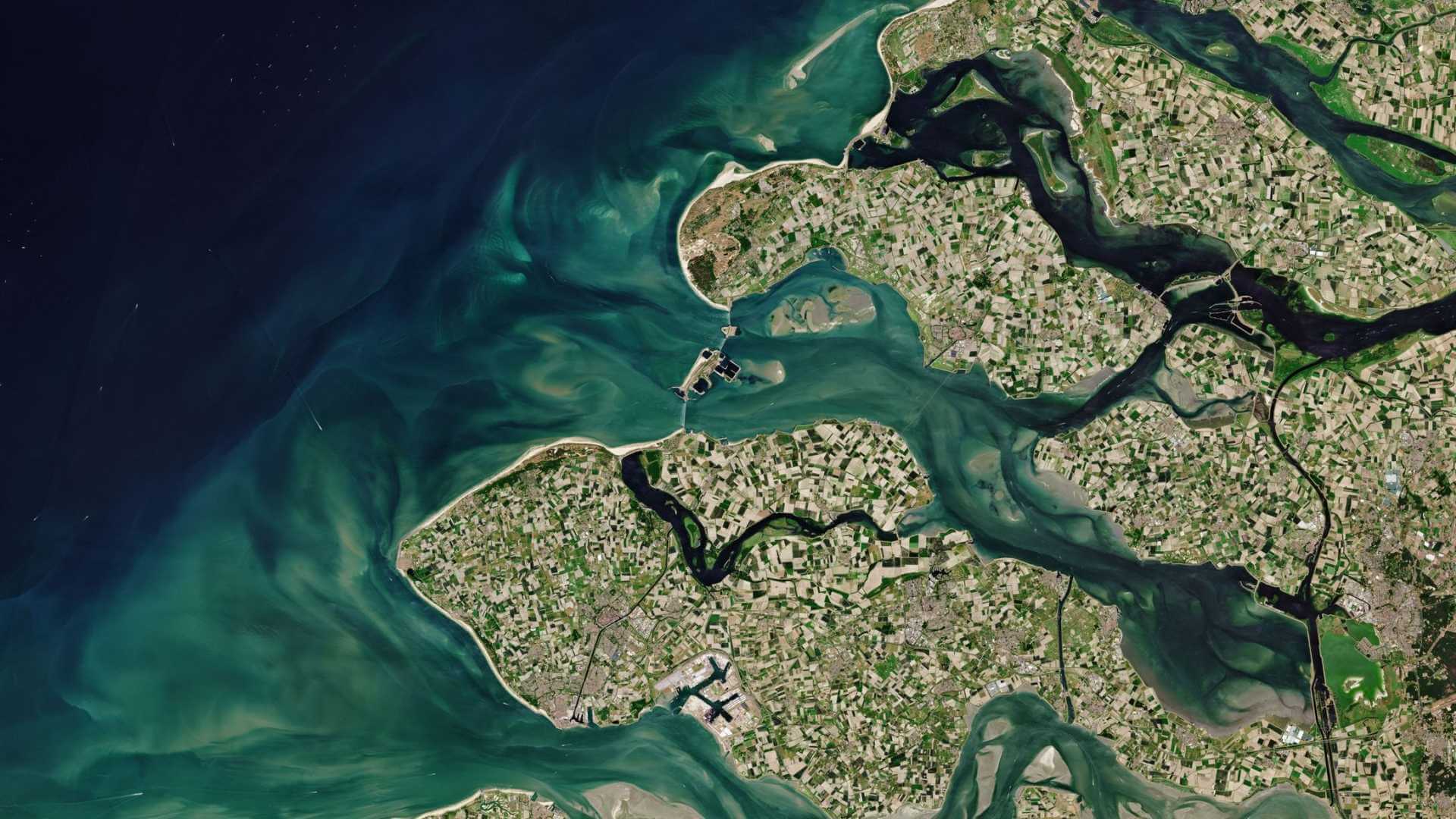
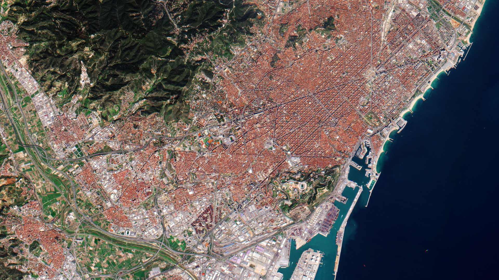
GeoEye-1 is an Earth-imaging satellite operated by Maxar of the United States which launched 6 September 2008 and remains operational.
The satellite is included in the WorldView constellation, which consists of the four WorldView satellites and GeoEye-1.
It is part of ESA's Third Party Missions Programme, in which ESA has an agreement with European Space Imaging (EUSI) to distribute data products from the mission.
| Orbit Height | 681 km |
| Orbit Type | Sun-synchronous, 10:30 am descending node |
| Orbit Period | 99 mins |
| Revisit Time | 1.7 days at 1-metre GSD resolution 4.6 days at 25° off-nadir (0.59 m GSD) |
GeoEye-1 Objectives
The satellite imagery is used for a variety of purposes, including but not limited to defence, disaster response, air and marine transportation, oil and gas exploration, mining production and exploration, mapping of remote regions, location-based services, insurance and risk management, agricultural crop management and more.
GeoEye-1 can revisit any point on Earth once every three days, or even sooner depending on latitude and elevation angle.
GeoEye-1 Instruments
GeoEye Imaging System (GIS)
GIS is optimised for large projects as it can collect over 350,000 square kilometres of VHR satellite imagery every day. Images are collected at 0.41 m panchromatic and 1.65 m 4-band multi-spectral data in 15.2 km swaths.
| Imager Type | Pushbroom imager. Line scan imaging system with TDI (Time Delay Integration) capability | |
| Imaging Mode | Panchromatic (Pan) | Multispectral (MS) |
| Spectral Range | 450-900 nm | 450-510 nm (blue) 520-580 nm (green) 655-690 nm (red) 780-920 nm (near infrared) |
| Spatial Resolution at Nadir | 0.41 m GSD | 1.64 m GSD |
| Swath Width | 15.2 km (multiple adjoining paths can be imaged in a target area in a single orbit pass due to S/C agility) | |
| Detectors | Pan: Si CCD array (8 µm pixel size) with a row of > 35,000 detectors MS: Si CCD 4 arrays (32 µm pixel size) with a row of > 9,300 detectors | |
| Data Quantization | 11 bit | |
| Geolocation Accuracy of Imagery | = 3 m (using a GPS receiver, a gyroscope and a star tracker) without any GCP (Ground Control Points) | |
| Optics | TMA telescope (5-element modified Cassegrain optical design) Aperture diameter of 1.1 m, focal length = 13.3 m, f/12 | |
| FOV (Field of View) | > 1.28º | |
| Instrument Size | 3 m tall (the volume is 5.3 m3) | |
| Total Instrument Mass | 452 kg | |
GeoEye-1 Data
DATA COLLECTIONS
ESA is offering, for scientific research and application development, access to Full archive and New Tasking of GeoEye-1 data upon submission and acceptance of a project proposal. These products are available as part of the Maxar Standard Satellite Imagery products.
ESA will support as many high-quality and innovative projects as possible within the quota limit available, therefore, only a limited amount of products can be made available to each project.
The following collections are available:
ESA offers registered users access through the Online Dissemination server to the following data collection: