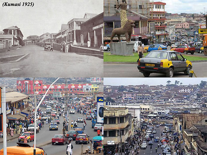
Kumasi is the capital city of the Ashanti region, a very important and historical centre for Ghana. Kumasi is located near Lake Bosumtwi, in a rainforest region, and is the commercial, industrial and cultural capital of Asanteman. Kumasi is approximately 480 km north of the Equator and 60 km north of the Gulf of Guinea. Kumasi is alternatively known as "The Garden City" because of its many beautiful species of flowers and plants.
To learn more about monitoring urbanisation in West Africa with a focus on Kumasi, read this case study by David J. Archer (University of Greenwich): Monitoring Rapid Urbanisation Case Study (PDF)
|
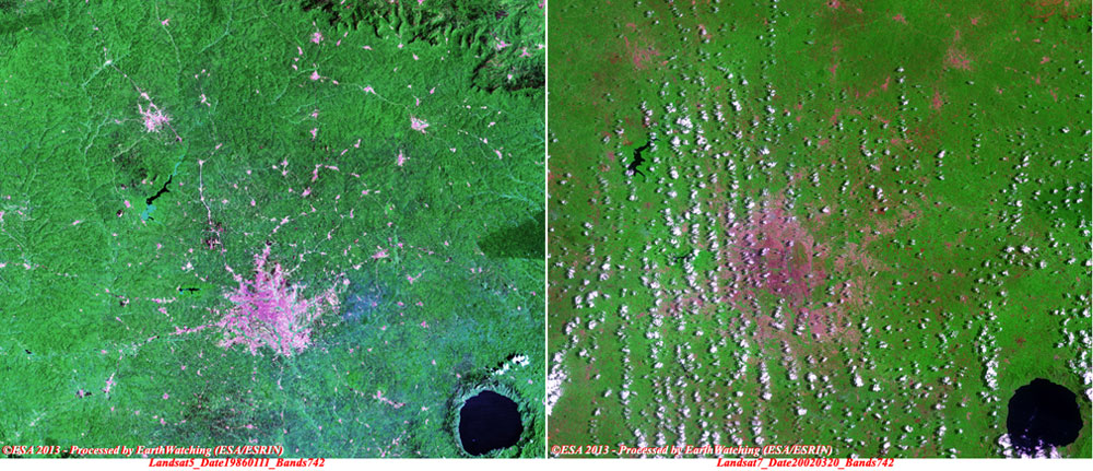
Landsat 5 and 7 image comparison |
These images taken from Landsat 5 and 7 are a comparison between two multispectral (30 metre) images, acquired over the city on different dates. These images show the large area where the urbanisation of the city has been extended over the years. The major area where the urbanisation was concentrated, is visible to the south-east of the city (toward Lake Bosumtwi).
|
Technical Information |
|
Product: |
TM (full resolution) |
|
Satellite: |
Landsat 5 and 7 |
|
Instrument: |
Thematic Mapper (TM) |
|
Date of acquisition: |
11 Jan 1986 and 20 Mar 2002 |
|
Coverage: |
185 km x 185 km |
|
Band combination: |
7, 5, 2 (RGB) |
|
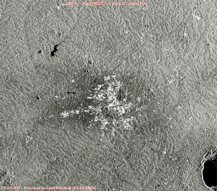
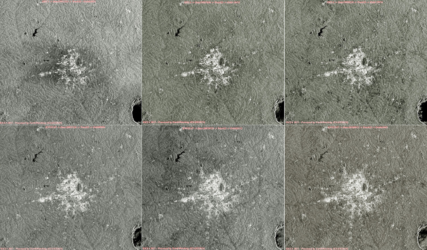
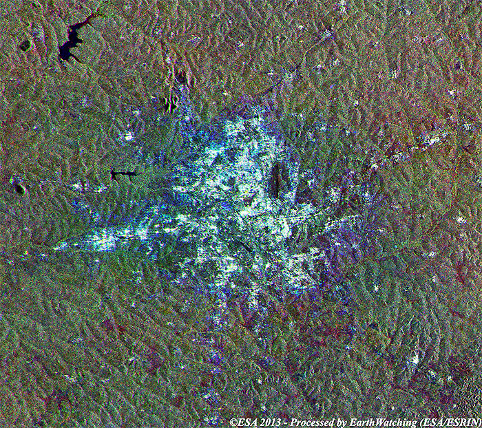
ASAR_IMP Swath2 and SAR PRI animation |
These radar images taken by Envisat and ERS-1/2, show the details of the rapid urbanisation of the city over the last 15 years (Dec 1995 to Sep 2010).
|
Images used to create the animation |
|
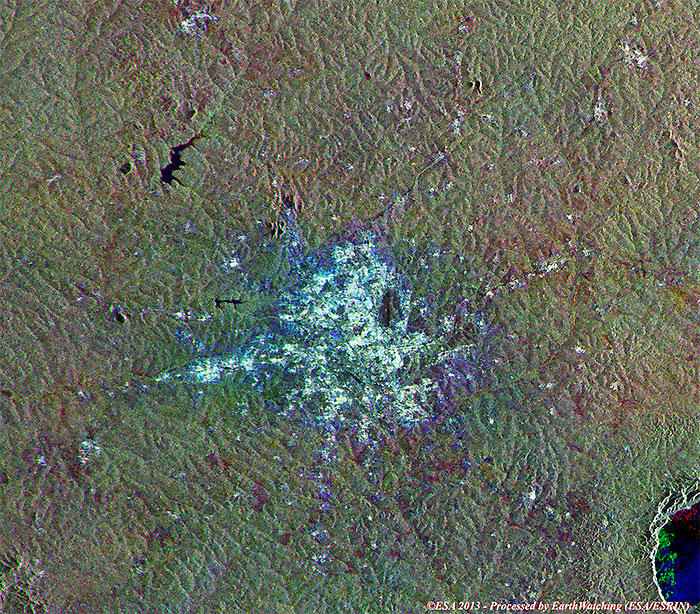
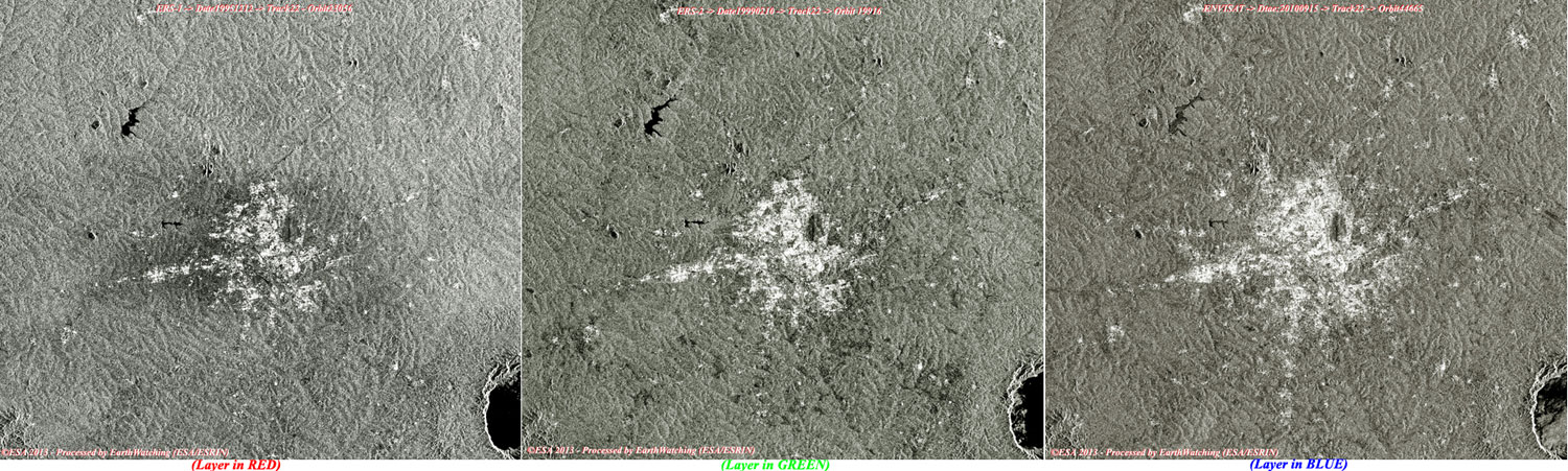
ASAR_IMP multi-layer image over the area |
This multi-colour image created by merging images from the Envisat and ERS-1/2 satellites, shows in Red (ERS-1), in Green (ERS-2) and Blue (Envisat) how the city has changed during the time between each acquisition. The repeat passes acquired by ERS-1, ERS-2 and Envisat over the city of Kumasi demonstrate the potential of SAR/ASAR data to monitor rapid urbanisation.
|
Images used to create the multi-colour merge |
 Browse SAR Events by Year